 |
| The southern and southwestern part of the island is much dryer with very few wetlands or surface waters. |
Early May 2014
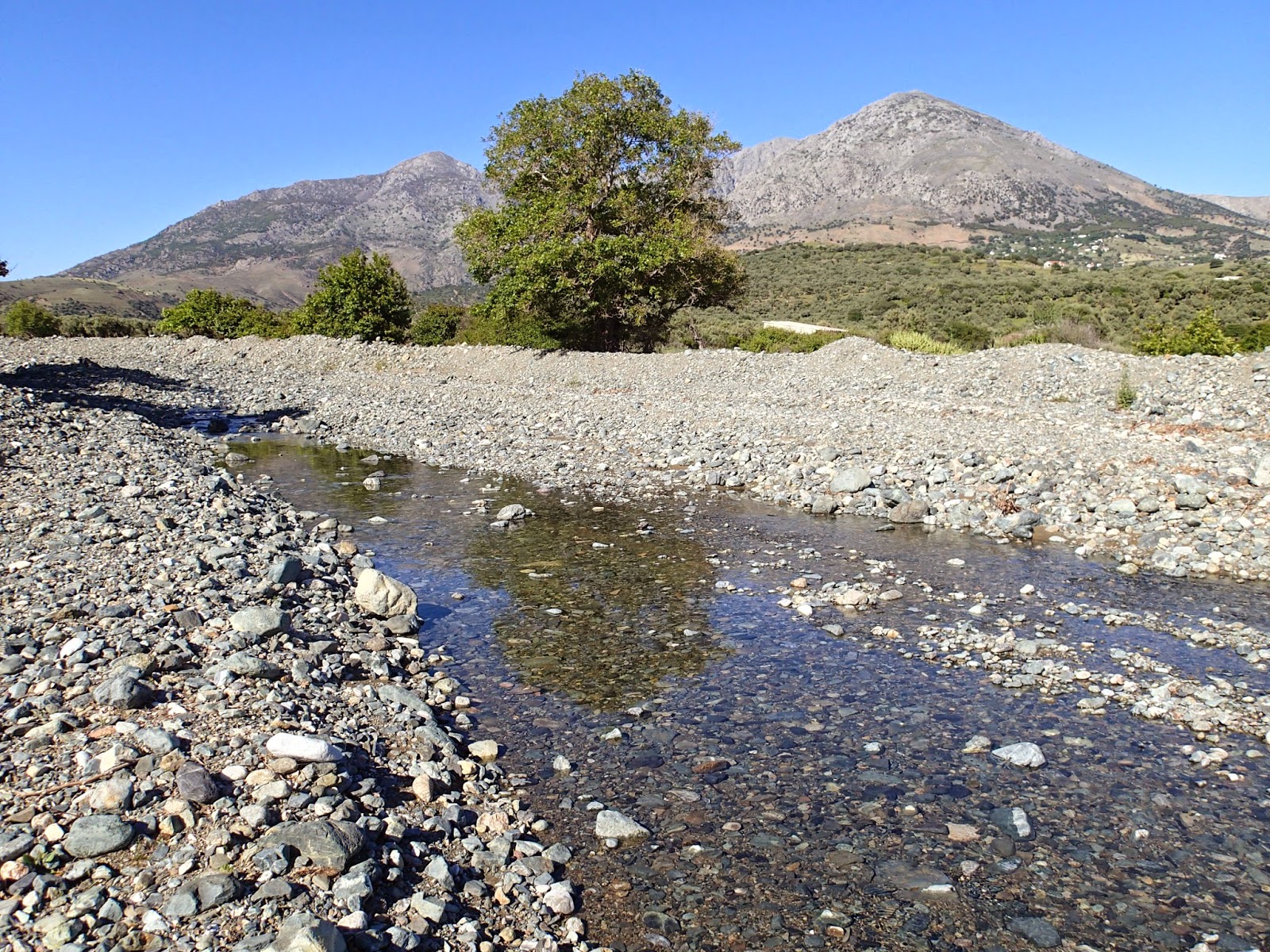
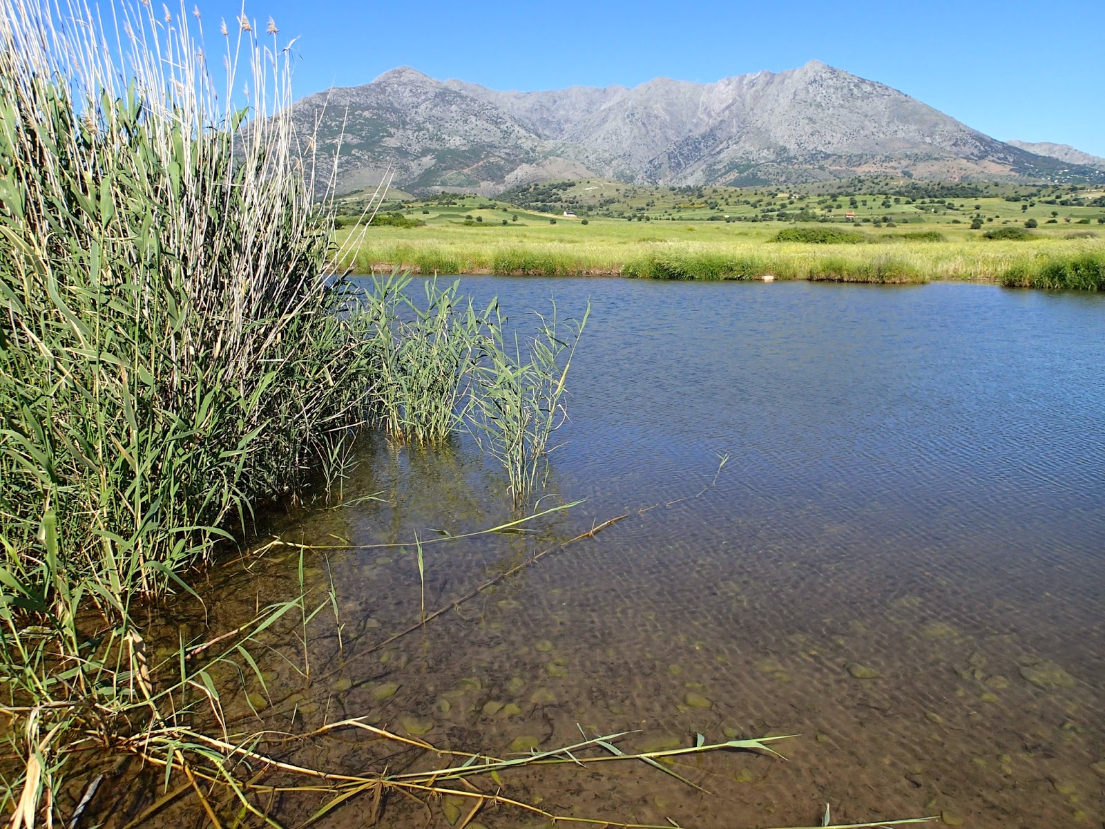
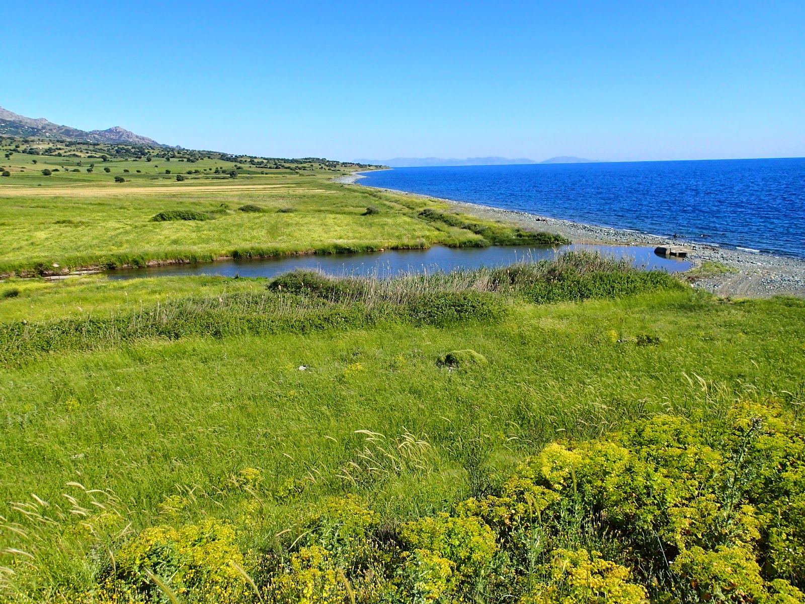
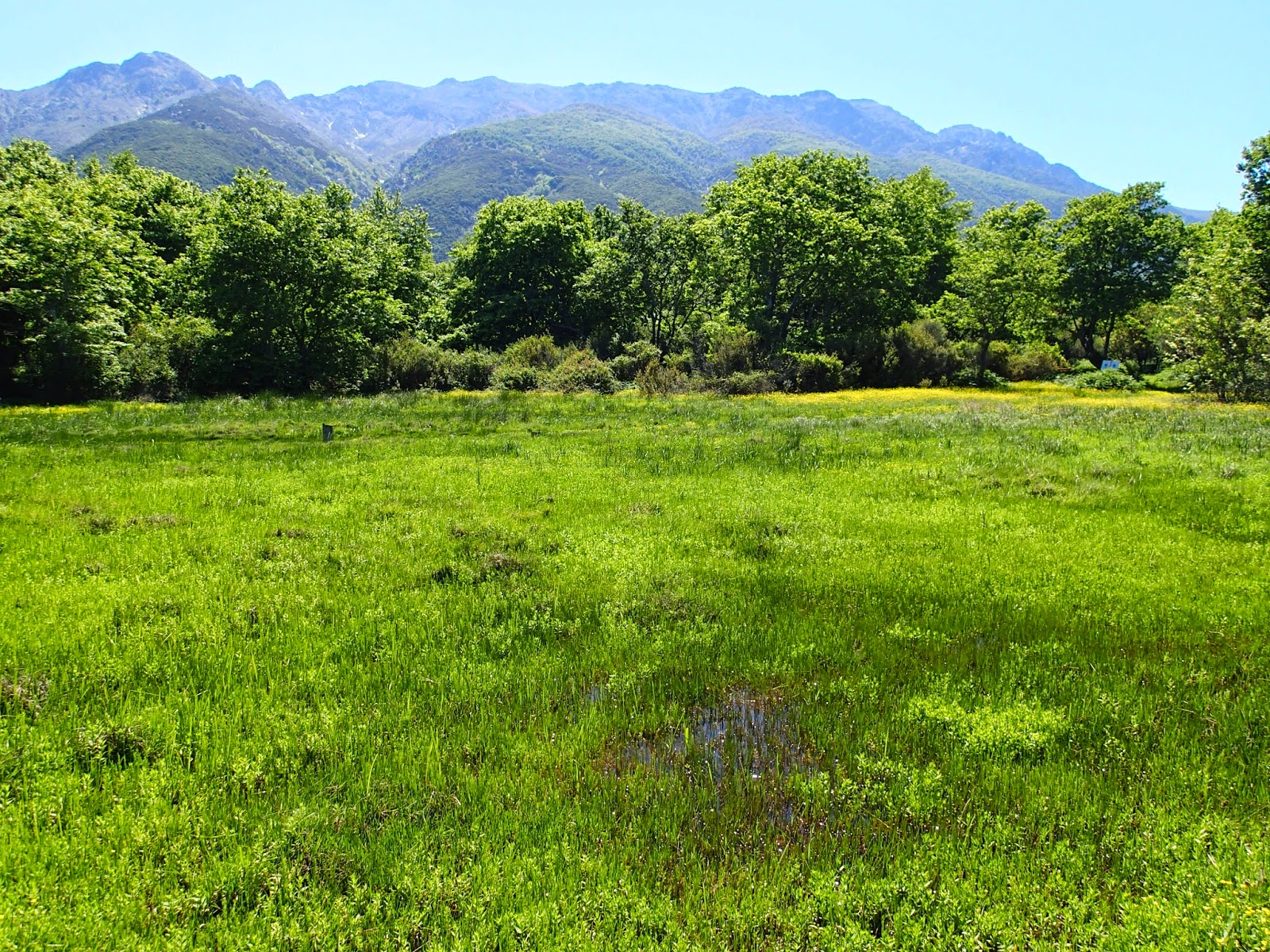
Wetlands
are special places where enough water gathers to influence vegetation and soils
in such a way that distinct landscape elements are created– semi-aquatic oases. These are especially important in the seasonally-very-dry Mediterranean islands.
On
Samothraki, one of the most beautiful Mediterranean islands, there are many, varied and truly unique wet places.
We visited the island this spring for HCMR survey work and a collaboration. Besides our
wonderful work with the Social Ecology group of Alpen-Adria University and our planning for a
Samothraki Nature Observatory 'linking network', we focused on wetlands for a couple of days: the
benefits were incredible!
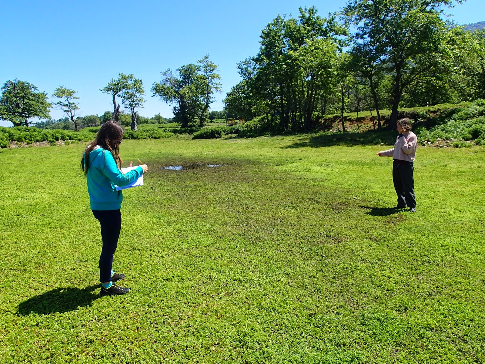
We visited
more than twenty-five wetland sites; 15 sites host wetlands larger than 2000 m2. Many more are
“micro-wetlands” that cannot yet be fully assessed but we did pin-point 12 such micro-wetlands and described them for the first time. We carefully took notes on
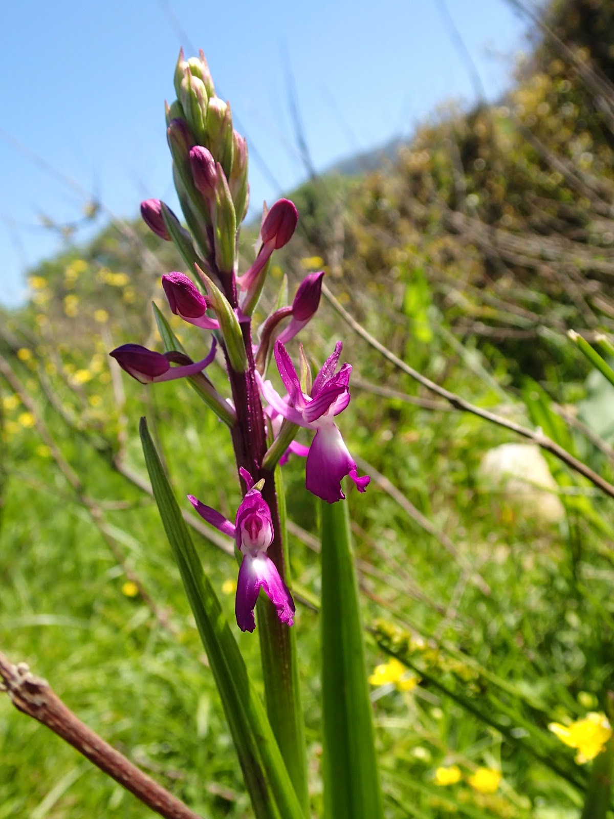
vegetation and the aquatic fauna; photos and video and mapped the sites using GIS tools.
Of course, as was expected, wetlands are one of the island's most threatened
ecosystems. Most are very small and directly connected to water run-off regimes
that are gravely influenced by increased waters abstraction, barriers to fish movement, habitat degradation and general mis-management and
careless under-appreciation of wetland values.
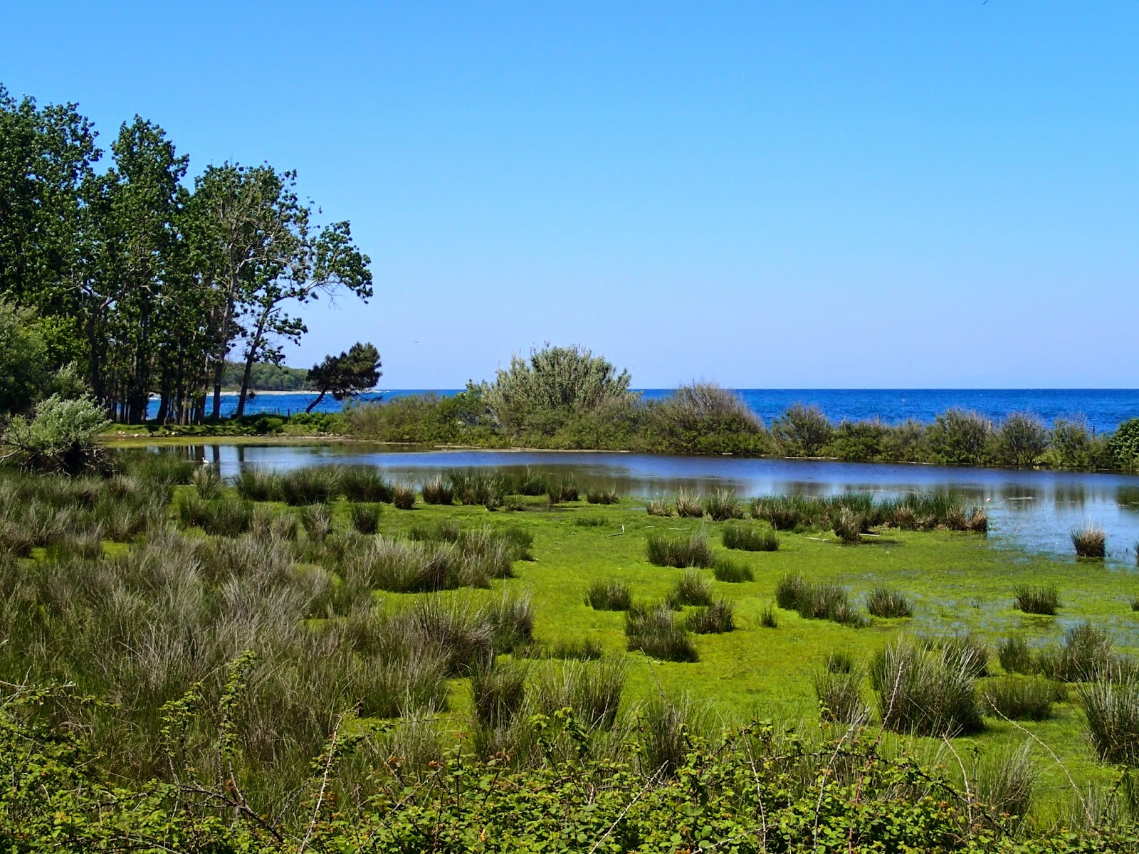
I post our
preliminary sightings and some wetland photos to show you what its like in
Spring up there.
I thank
Nikos, Anastasia, Natalia for strenuous work in the field with me. And we all thank the well organized
University team from abroad (Marina, Panos, Aggelos….everyone!). Our researches
are still at the embryonic stage – but wonderful things seem to be happening on the island. We’ve got
work to do for Samothraki.
Snapshots from the Spring trip follow...


* Final Google Earth shot shows a map of Samothraki - with the sites to be visited numbered. The 00 symbol refers to sites that had not been explored befor our Spring visit. This is therefore an incomplete 'working map' created during the survey; it is indicative of the distribution pattern - most wetlands are in the more humid northern shore and we found no inland wetlands yet!